Geolocate

Philobari topographic map

Click on the map to display elevation.

About this map

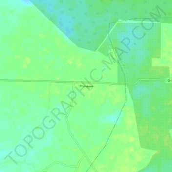
Name: Philobari topographic map, elevation, terrain.

Location: Philobari, Doom Dooma, Tinsukia, Assam, 786160, India (27.53019 95.70652 27.57019 95.74652)

Average elevation: 469 ft

Minimum elevation: 446 ft

Maximum elevation: 486 ft

Gear up for your next adventure:

GPS Sports Watch - GPS watch for running, hiking and training
🧭Map Reading Tools - Tools and kits for map navigation
🦶Hiking Gaiters - Keep debris and water out of your boots
📷Action Cameras - Rugged cameras to document your journeys across rugged terrain
Solar GPS Watches - Advanced multisport watches with built-in topographic maps

As an Amazon Associate, this site earns from qualifying purchases at no extra cost to you.