
Thank you for supporting this site ❤️
Make a donation
Make a donation
Gear up for your next adventure:
As an Amazon Associate, this site earns from qualifying purchases at no extra cost to you.
Ocotlán topographic map
Click on the map to display elevation.
Thank you for supporting this site ❤️
Make a donation
Make a donation
Gear up for your next adventure:
As an Amazon Associate, this site earns from qualifying purchases at no extra cost to you.
About this map
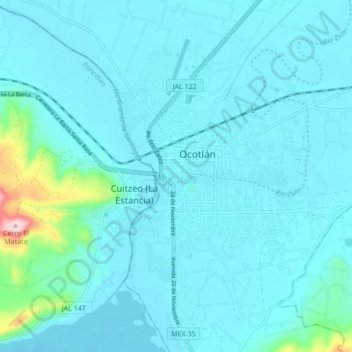
Name: Ocotlán topographic map, elevation, terrain.
Location: Ocotlán, Jalisco, 47830, Mexico (20.19145 -102.92881 20.51145 -102.60881)
Average elevation: 5,151 ft
Minimum elevation: 4,970 ft
Maximum elevation: 7,241 ft
Thank you for supporting this site ❤️
Make a donation
Make a donation
Gear up for your next adventure:
As an Amazon Associate, this site earns from qualifying purchases at no extra cost to you.