Geolocate

Picoy topographic map

Click on the map to display elevation.

About this map

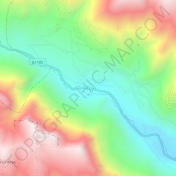
Name: Picoy topographic map, elevation, terrain.

Location: Picoy, Acobamba, Province of Tarma, Junín, Peru (-11.34518 -75.70949 -11.30518 -75.66949)

Average elevation: 11,332 ft

Minimum elevation: 9,803 ft

Maximum elevation: 13,438 ft

Gear up for your next adventure:

🔋Rechargeable Batteries - Power up your outdoor devices
🧭Compass with Lanyard - Easy‑carry compass for navigation
🧤Tactile Hiking Gloves - Keep hands warm while operating GPS and smartphone screens
🥾Hiking Shoes - Durable and comfortable shoes for trail hiking
👟Men's Trail Runners - Lightweight footwear for fast-paced exploration and light hiking

As an Amazon Associate, this site earns from qualifying purchases at no extra cost to you.