Geolocate

Chiriaco topographic map

Click on the map to display elevation.

About this map

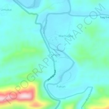
Name: Chiriaco topographic map, elevation, terrain.

Location: Chiriaco, Imaza, Bagua, Amazonas, Peru (-5.18017 -78.30691 -5.14017 -78.26691)

Average elevation: 1,109 ft

Minimum elevation: 883 ft

Maximum elevation: 2,133 ft

Gear up for your next adventure:

🌎3D Topographic Globes - Raised relief globes for a tactile understanding of geography
🛰️Satellite Messengers - Emergency SOS and two-way messaging for off-grid adventures
🌄Hiking Binoculars - Compact binoculars for scenic views and trail spotting
🔋Rechargeable Batteries - Power up your outdoor devices
🗺️NatGeo Topo Maps - High-quality waterproof printed topographic maps of US Parks

As an Amazon Associate, this site earns from qualifying purchases at no extra cost to you.