Geolocate

Fort Dodge topographic map

Click on the map to display elevation.

About this map

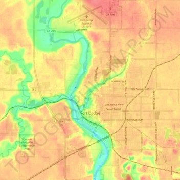
Name: Fort Dodge topographic map, elevation, terrain.

Location: Fort Dodge, Wahkonsa Township, Webster County, Iowa, 50501, United States (42.47256 -94.22433 42.55801 -94.11411)

Average elevation: 1,096 ft

Minimum elevation: 958 ft

Maximum elevation: 1,171 ft

Webster County trails, hiking, mountain biking, running and outdoor activities

Other topographic maps

Click on a map to view its topography, its elevation and its terrain.

Tara

United States > Iowa > Webster County

Average elevation: 1,138 ft

Fort Dodge

United States > Iowa > Webster County > Fort Dodge > Fort Dodge

Average elevation: 1,129 ft

Gear up for your next adventure:

🚪Portable Camp Chair - Foldable chair for comfort at camp
🛰️Satellite Messengers - Emergency SOS and two-way messaging for off-grid adventures
🩳Quick‑Dry Hiking Shorts - Comfortable and quick‑dry shorts for summer hiking
🎒Day Hiking Backpack - Lightweight backpack perfect for day trips and outdoor adventures
📦Dry Bags Set - Waterproof storage for electronics and clothes

As an Amazon Associate, this site earns from qualifying purchases at no extra cost to you.