
Thank you for supporting this site ❤️
Make a donation
Make a donation
Gear up for your next adventure:
As an Amazon Associate, this site earns from qualifying purchases at no extra cost to you.
Parinda topographic map
Click on the map to display elevation.
Thank you for supporting this site ❤️
Make a donation
Make a donation
Gear up for your next adventure:
As an Amazon Associate, this site earns from qualifying purchases at no extra cost to you.
About this map
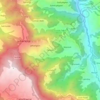
Name: Parinda topographic map, elevation, terrain.
Location: Parinda, Jaiharīkhāl, Lansdowne, Pauri Garhwal, 246155, India (29.83753 78.67373 29.87753 78.71373)
Average elevation: 4,124 ft
Minimum elevation: 2,421 ft
Maximum elevation: 6,017 ft
Thank you for supporting this site ❤️
Make a donation
Make a donation
Gear up for your next adventure:
As an Amazon Associate, this site earns from qualifying purchases at no extra cost to you.