Geolocate

Flateyri topographic map

Click on the map to display elevation.

About this map

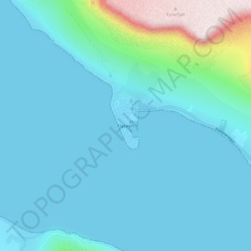
Name: Flateyri topographic map, elevation, terrain.

Location: Flateyri, Ísafjarðarbær, Westfjords Region, 425, Iceland (66.02881 -23.53296 66.06881 -23.49296)

Average elevation: 295 ft

Minimum elevation: -7 ft

Maximum elevation: 2,264 ft

Gear up for your next adventure:

🧯Emergency Survival Kit - All‑in‑one survival essentials for the backcountry
🩳Quick‑Dry Hiking Shorts - Comfortable and quick‑dry shorts for summer hiking
🪶Camping Sleeping Pad - Comfortable sleeping pad for backpacking
🛶Inflatable Kayak - Portable kayak for rivers, lakes, and expeditions
GPS Sports Watch - GPS watch for running, hiking and training

As an Amazon Associate, this site earns from qualifying purchases at no extra cost to you.