
公园村 topographic map
Interactive map
Click on the map to display elevation.
About this map
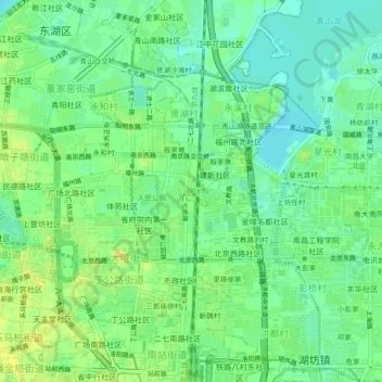
Name: 公园村 topographic map, elevation, terrain.
Location: 公园村, 东湖区, 南昌市, 江西省, 330000, 中国 (28.66457 115.89445 28.70457 115.93445)
Average elevation: 82 ft
Minimum elevation: 43 ft
Maximum elevation: 135 ft
Other topographic maps
Click on a map to view its topography, its elevation and its terrain.