
Nabingoola topographic map
Click on the map to display elevation.
About this map
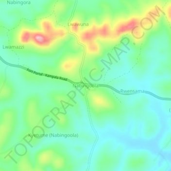
Name: Nabingoola topographic map, elevation, terrain.
Location: Nabingoola, Mubende, Central Region, Uganda (0.46714 31.16122 0.50714 31.20122)
Average elevation: 4,386 ft
Minimum elevation: 4,209 ft
Maximum elevation: 4,797 ft