
Caldwell topographic map
Click on the map to display elevation.
About this map
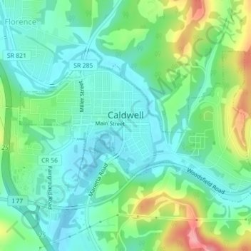
Name: Caldwell topographic map, elevation, terrain.
Location: Caldwell, Noble County, Ohio, United States (39.73848 -81.53135 39.75481 -81.49839)
Average elevation: 810 ft
Minimum elevation: 705 ft
Maximum elevation: 1,063 ft
Noble County trails, hiking, mountain biking, running and outdoor activities
Other topographic maps
Click on a map to view its topography, its elevation and its terrain.