
Thank you for supporting this site ❤️
Make a donation
Make a donation
Gear up for your next adventure:
As an Amazon Associate, this site earns from qualifying purchases at no extra cost to you.
Cañicosa topographic map
Click on the map to display elevation.
Thank you for supporting this site ❤️
Make a donation
Make a donation
Gear up for your next adventure:
As an Amazon Associate, this site earns from qualifying purchases at no extra cost to you.
About this map
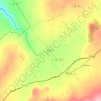
Name: Cañicosa topographic map, elevation, terrain.
Location: Cañicosa, Matabuena, Segovia, Castilla y León, 40163, España (41.08491 -3.78769 41.12491 -3.74769)
Average elevation: 3,786 ft
Minimum elevation: 3,425 ft
Maximum elevation: 4,075 ft
Thank you for supporting this site ❤️
Make a donation
Make a donation
Gear up for your next adventure:
As an Amazon Associate, this site earns from qualifying purchases at no extra cost to you.