
Long Mountain topographic map
Click on the map to display elevation.
About this map
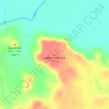
Name: Long Mountain topographic map, elevation, terrain.
Location: Long Mountain, Milam County, Texas, 77857, United States (30.81764 -96.73003 30.81774 -96.72993)
Average elevation: 344 ft
Minimum elevation: 246 ft
Maximum elevation: 482 ft
Milam County trails, hiking, mountain biking, running and outdoor activities
Other topographic maps
Click on a map to view its topography, its elevation and its terrain.