
Thank you for supporting this site ❤️
Make a donation
Make a donation
Gear up for your next adventure:
As an Amazon Associate, this site earns from qualifying purchases at no extra cost to you.
82140 topographic map
Click on the map to display elevation.
Thank you for supporting this site ❤️
Make a donation
Make a donation
Gear up for your next adventure:
As an Amazon Associate, this site earns from qualifying purchases at no extra cost to you.
About this map
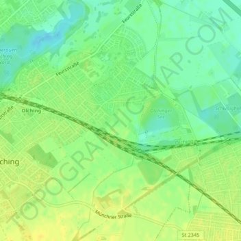
Name: 82140 topographic map, elevation, terrain.
Location: 82140, Olching, Landkreis Fürstenfeldbruck, Bavaria, Germany (48.20817 11.35046 48.20827 11.35056)
Average elevation: 1,654 ft
Minimum elevation: 1,614 ft
Maximum elevation: 1,686 ft
Thank you for supporting this site ❤️
Make a donation
Make a donation
Gear up for your next adventure:
As an Amazon Associate, this site earns from qualifying purchases at no extra cost to you.