
Amboli topographic map
Interactive map
Click on the map to display elevation.
About this map
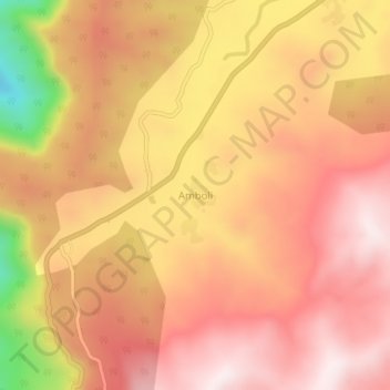
Name: Amboli topographic map, elevation, terrain.
Location: Amboli, Sawantwadi, Sindhudurg, Maharashtra, 416532, India (15.94672 73.99053 15.98672 74.03053)
Average elevation: 2,408 ft
Minimum elevation: 1,073 ft
Maximum elevation: 3,068 ft
Other topographic maps
Click on a map to view its topography, its elevation and its terrain.
Aronda
India > Maharashtra > Sawantwadi
Aronda, Sawantwadi, Sindhudurg, Maharashtra, 416513, India
Average elevation: 66 ft