
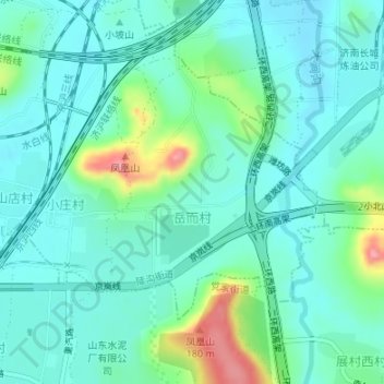
岳而村 topographic map
Interactive map
Click on the map to display elevation.
About this map
Name: 岳而村 topographic map, elevation, terrain.
Location: 岳而村, 陡沟街道, 市中区, 济南市, 山东省, 250000, 中国 (36.58444 116.91530 36.60244 116.93567)
Average elevation: 256 ft
Minimum elevation: 171 ft
Maximum elevation: 545 ft
Other topographic maps
Click on a map to view its topography, its elevation and its terrain.