Geolocate

Torrente Neirone topographic map

Click on the map to display elevation.

About this map

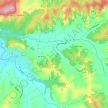
Name: Torrente Neirone topographic map, elevation, terrain.

Location: Torrente Neirone, Gavi, Alessandria, Piemonte, Italia (44.67988 8.79839 44.69626 8.85209)

Average elevation: 938 ft

Minimum elevation: 666 ft

Maximum elevation: 1,434 ft

Other topographic maps

Click on a map to view its topography, its elevation and its terrain.

Malvicina

Italia > Piemonte > Alessandria > Gavi > Malvicina

Average elevation: 948 ft

Gear up for your next adventure:

🧢Outdoor Hiking Hat - Sun protection hat for outdoor explorers
🛌Ultralight Sleeping Bags - Compact down bags for cold nights in the wilderness
🔌Solar Panel Charger - Charge gear sustainably outdoors
🔥Plasma Lighters - Windproof lighters that work in any weather condition
🌲Outdoor Survival Books - Best books on survival skills

As an Amazon Associate, this site earns from qualifying purchases at no extra cost to you.