Geolocate

Juncal topographic map

Click on the map to display elevation.

About this map

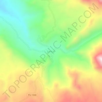
Name: Juncal topographic map, elevation, terrain.

Location: Juncal, San Antonio, Puno, Perú (-16.15979 -70.36410 -16.11979 -70.32410)

Average elevation: 14,711 ft

Minimum elevation: 13,655 ft

Maximum elevation: 16,063 ft

Gear up for your next adventure:

🥾Hiking Shoes - Durable and comfortable shoes for trail hiking
🌐World Map Poster - Decorative world maps with topographic info
🪶Thermal Camp Blanket - Extra warmth for cold nights
🛌Ultralight Sleeping Bags - Compact down bags for cold nights in the wilderness
🛡️Bear Spray Outdoor - Protection in bear country hikes

As an Amazon Associate, this site earns from qualifying purchases at no extra cost to you.