
Thank you for supporting this site ❤️
Make a donation
Make a donation
Gear up for your next adventure:
As an Amazon Associate, this site earns from qualifying purchases at no extra cost to you.
Betla topographic map
Click on the map to display elevation.
Thank you for supporting this site ❤️
Make a donation
Make a donation
Gear up for your next adventure:
As an Amazon Associate, this site earns from qualifying purchases at no extra cost to you.
About this map
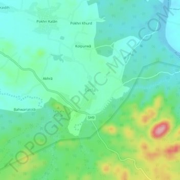
Name: Betla topographic map, elevation, terrain.
Location: Betla, Barwadih, Latehar District, Jharkhand, 822111, India (23.87031 84.17564 23.91031 84.21564)
Average elevation: 974 ft
Minimum elevation: 833 ft
Maximum elevation: 1,375 ft
Thank you for supporting this site ❤️
Make a donation
Make a donation
Gear up for your next adventure:
As an Amazon Associate, this site earns from qualifying purchases at no extra cost to you.