
Grand-Métis topographic map
Interactive map
Click on the map to display elevation.
About this map
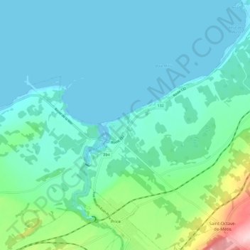
Name: Grand-Métis topographic map, elevation, terrain.
Location: Grand-Métis, La Mitis, Bas-Saint-Laurent, Quebec, Canada (48.59418 -68.13946 48.66643 -68.04205)
Average elevation: 118 ft
Minimum elevation: -13 ft
Maximum elevation: 692 ft