
库尔干村 topographic map
Interactive map
Click on the map to display elevation.
About this map
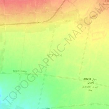
Name: 库尔干村 topographic map, elevation, terrain.
Location: 库尔干村, 鄯善县, 吐鲁番市, 新疆维吾尔自治区, 中国 (42.86290 90.23951 42.90290 90.27951)
Average elevation: 1,335 ft
Minimum elevation: 1,224 ft
Maximum elevation: 1,424 ft
Other topographic maps
Click on a map to view its topography, its elevation and its terrain.
火焰山
中国 > 新疆维吾尔自治区 > 鄯善县 > Singgimtay
火焰山, Singgimtay, 鄯善县, 吐鲁番市, 新疆维吾尔自治区, 中国
Average elevation: 823 ft