Geolocate

Rincón topographic map

Click on the map to display elevation.

About this map

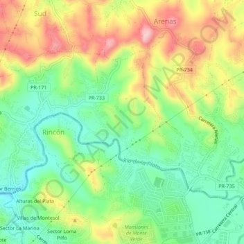
Name: Rincón topographic map, elevation, terrain.

Location: Rincón, Cidra, Puerto Rico, United States (18.13346 -66.17981 18.15683 -66.13785)

Average elevation: 1,375 ft

Minimum elevation: 1,083 ft

Maximum elevation: 1,785 ft

Puerto Rico trails, hiking, mountain biking, running and outdoor activities

Gear up for your next adventure:

🛠️Backpacking Tool Kit - Essential toolkit for outdoor repairs
📡GPS Antenna Upgrade - Enhance GPS reception in remote terrain
🖼️Topo Map Wall Art - Decorative topographic prints of famous peaks and regions
📱Heavy-Duty Phone Cases - Drop-proof and waterproof protection for outdoor navigation
🪑Portable Camp Table - Compact table for campsite meals

As an Amazon Associate, this site earns from qualifying purchases at no extra cost to you.