
Xinglong topographic map
Click on the map to display elevation.
About this map
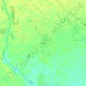
Name: Xinglong topographic map, elevation, terrain.
Location: Xinglong, Chengdu, Sichuan, China (30.43534 103.63910 30.47534 103.67910)
Average elevation: 1,591 ft
Minimum elevation: 1,555 ft
Maximum elevation: 1,614 ft