
Pecos topographic map
Click on the map to display elevation.
About this map
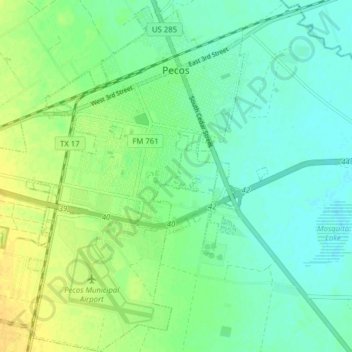
Name: Pecos topographic map, elevation, terrain.
Location: Pecos, Reeves County, Texas, United States (31.37193 -103.53768 31.43876 -103.47474)
Average elevation: 2,592 ft
Minimum elevation: 2,562 ft
Maximum elevation: 2,635 ft
Reeves County trails, hiking, mountain biking, running and outdoor activities