
温岭 topographic map
Interactive map
Click on the map to display elevation.
About this map
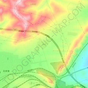
Name: 温岭 topographic map, elevation, terrain.
Location: 温岭, 神池县, 忻州市, 山西省, 中国 (39.07945 112.20007 39.11945 112.24007)
Average elevation: 5,131 ft
Minimum elevation: 4,603 ft
Maximum elevation: 5,679 ft
Other topographic maps
Click on a map to view its topography, its elevation and its terrain.