
神池县 topographic map
Interactive map
Click on the map to display elevation.
About this map
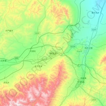
Name: 神池县 topographic map, elevation, terrain.
Location: 神池县, 忻州市, 山西省, 中国 (38.92668 112.03282 39.24668 112.35282)
Average elevation: 5,233 ft
Minimum elevation: 3,652 ft
Maximum elevation: 8,353 ft
Other topographic maps
Click on a map to view its topography, its elevation and its terrain.