Geolocate

Bokajan topographic map

Click on the map to display elevation.

About this map

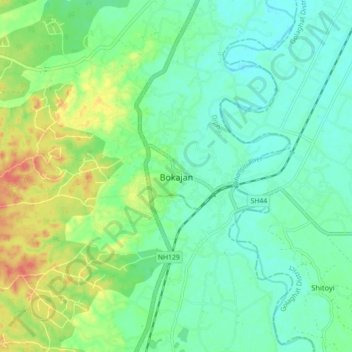
Name: Bokajan topographic map, elevation, terrain.

Location: Bokajan, Diphu, Karbi Anglong District, Assam, 782490, India (25.98351 93.73070 26.06351 93.81070)

Average elevation: 466 ft

Minimum elevation: 407 ft

Maximum elevation: 597 ft

Gear up for your next adventure:

🎒Trail Energy Bars - High‑calorie bars for hiking energy
📖Nature Tracking Books - Learn to track wildlife and terrain
🧭Orienteering Set - Complete compass and map reading kit
📱Heavy-Duty Phone Cases - Drop-proof and waterproof protection for outdoor navigation
🕶️Glacier Sunglasses - Side shields to protect eyes from high-altitude snow glare

As an Amazon Associate, this site earns from qualifying purchases at no extra cost to you.