
Mushandike topographic map
Interactive map
Click on the map to display elevation.
About this map
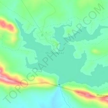
Name: Mushandike topographic map, elevation, terrain.
Location: Mushandike, Masvingo, Zimbabwe (-20.15075 30.60850 -20.12750 30.64800)
Average elevation: 3,146 ft
Minimum elevation: 2,949 ft
Maximum elevation: 3,661 ft
Other topographic maps
Click on a map to view its topography, its elevation and its terrain.
Great Zimbabwe National Monument
Zimbabwe > Masvingo > Masvingo
Great Zimbabwe National Monument, Masvingo, Zimbabwe
Average elevation: 3,691 ft