Geolocate

Limp topographic map

Click on the map to display elevation.

About this map

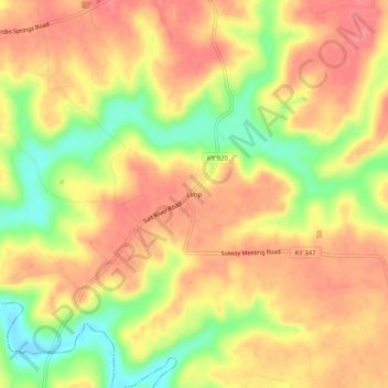
Name: Limp topographic map, elevation, terrain.

Location: Limp, Hardin County, Kentucky, United States (37.57228 -86.21747 37.61228 -86.17747)

Average elevation: 692 ft

Minimum elevation: 535 ft

Maximum elevation: 784 ft

Hardin County trails, hiking, mountain biking, running and outdoor activities

Other topographic maps

Click on a map to view its topography, its elevation and its terrain.

Vine Grove

United States > Kentucky > Hardin County

Average elevation: 715 ft

Sonora

United States > Kentucky > Hardin County

Average elevation: 725 ft

West Point

United States > Kentucky > Hardin County

Average elevation: 535 ft

Upton

United States > Kentucky > Hardin County

Average elevation: 755 ft

Gear up for your next adventure:

📡GPS Antenna Upgrade - Enhance GPS reception in remote terrain
🪑Ultralight Camp Chairs - Portable seating for resting after a long day of mapping
🧭GPS Watch Accessories - Bands and chargers for GPS watches
🪶Camp Gear Gift Set - Perfect gift bundle for outdoor fans
🧯Portable Fire Pit - Compact fire pit for camping spots

As an Amazon Associate, this site earns from qualifying purchases at no extra cost to you.