Geolocate

Moore Station topographic map

Click on the map to display elevation.

About this map

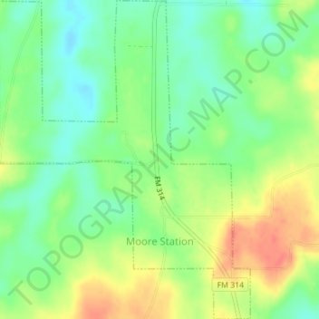
Name: Moore Station topographic map, elevation, terrain.

Location: Moore Station, Henderson County, Texas, United States (32.17458 -95.58447 32.20411 -95.55699)

Average elevation: 433 ft

Minimum elevation: 361 ft

Maximum elevation: 525 ft

Henderson County trails, hiking, mountain biking, running and outdoor activities

Other topographic maps

Click on a map to view its topography, its elevation and its terrain.

Lake Palestine

United States > Texas > Henderson County > Chandler

Average elevation: 367 ft

LaRue

United States > Texas > Henderson County

Average elevation: 489 ft

Murchison

United States > Texas > Henderson County

Average elevation: 479 ft

Gear up for your next adventure:

🥄Camping Utensil Set - Lightweight utensils for outdoor meals
🌲Outdoor Survival Books - Best books on survival skills
🎒Outdoor Daypacks - Lightweight backpacks designed for carrying maps and essential gear
🛡️Insect Repellent - Protection against bugs during outdoor activities
🧥Men's Rain Shells - Premium waterproof and breathable jackets for mountain weather

As an Amazon Associate, this site earns from qualifying purchases at no extra cost to you.