Geolocate

Scheemda topographic map

Click on the map to display elevation.

About this map

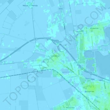
Name: Scheemda topographic map, elevation, terrain.

Location: Scheemda, Oldambt, Groningen, Netherlands (53.15218 6.90330 53.20397 7.01789)

Average elevation: 0 ft

Minimum elevation: -20 ft

Maximum elevation: 20 ft

Other topographic maps

Click on a map to view its topography, its elevation and its terrain.

Gear up for your next adventure:

🍳Camping Cook Set - Complete cookware for outdoor meals
🪶Thermal Camp Blanket - Extra warmth for cold nights
🎒Trekking Poles - Sturdy poles for balance and stability on rough terrain
🧭Pro Hiking Compasses - High-accuracy liquid-filled compasses for topographic orientation
🚗GPS Dash Cams - Record your scenic drives through mountain passes and canyons

As an Amazon Associate, this site earns from qualifying purchases at no extra cost to you.