
Thank you for supporting this site ❤️
Make a donation
Make a donation
Gear up for your next adventure:
As an Amazon Associate, this site earns from qualifying purchases at no extra cost to you.
Tapon topographic map
Click on the map to display elevation.
Thank you for supporting this site ❤️
Make a donation
Make a donation
Gear up for your next adventure:
As an Amazon Associate, this site earns from qualifying purchases at no extra cost to you.
About this map
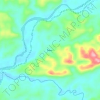
Name: Tapon topographic map, elevation, terrain.
Location: Tapon, Tadó, San Juan, Chocó, RAP Pacífico, Colombia (5.26637 -76.50958 5.30637 -76.46958)
Average elevation: 410 ft
Minimum elevation: 253 ft
Maximum elevation: 873 ft
Thank you for supporting this site ❤️
Make a donation
Make a donation
Gear up for your next adventure:
As an Amazon Associate, this site earns from qualifying purchases at no extra cost to you.