Geolocate

Atlin topographic map

Click on the map to display elevation.

About this map

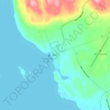
Name: Atlin topographic map, elevation, terrain.

Location: Atlin, Stikine Region, British Columbia, V0W 1A0, Canada (59.55449 -133.72432 59.59449 -133.68432)

Average elevation: 2,287 ft

Minimum elevation: 2,188 ft

Maximum elevation: 2,674 ft

Other topographic maps

Click on a map to view its topography, its elevation and its terrain.

Margerie Glacier

Canada > British Columbia > Stikine Region

Average elevation: 7,106 ft

Gear up for your next adventure:

🪶Wildlife Field Guides - Learn animal tracking and species ID
🦶Carbon Trekking Poles - Reduce knee impact on steep descents with ultra-light poles
🧤Tactile Hiking Gloves - Keep hands warm while operating GPS and smartphone screens
📖Nature Tracking Books - Learn to track wildlife and terrain
🏥Hiking First Aid Kits - Comprehensive medical kits for remote trail injuries

As an Amazon Associate, this site earns from qualifying purchases at no extra cost to you.