
Le Hockai topographic map
Interactive map
Click on the map to display elevation.
About this map
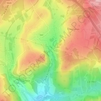
Name: Le Hockai topographic map, elevation, terrain.
Location: Le Hockai, Stavelot, Verviers, Liège, Wallonie, 4970, Belgique (50.45676 5.97566 50.45692 5.97567)
Average elevation: 1,568 ft
Minimum elevation: 1,280 ft
Maximum elevation: 1,824 ft
Other topographic maps
Click on a map to view its topography, its elevation and its terrain.