
Whitton topographic map
Click on the map to display elevation.
About this map
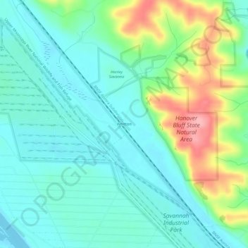
Name: Whitton topographic map, elevation, terrain.
Average elevation: 692 ft
Minimum elevation: 587 ft
Maximum elevation: 965 ft
Jo Daviess County trails, hiking, mountain biking, running and outdoor activities
Other topographic maps
Click on a map to view its topography, its elevation and its terrain.
East Dubuque
United States > Illinois > Jo Daviess County
Like the rest of Jo Daviess County, the city is topographically a part of the Driftless Area.
Average elevation: 679 ft
Scales Mound
United States > Illinois > Jo Daviess County
Scales Mound is located in a region of the U.S. Midwest known as the Driftless Area, so called because it escaped glaciation during the last ice age. It covers parts of Illinois, Wisconsin, Minnesota and Iowa. The Illinois section is mostly limited to Jo Daviess County and small parts of Whiteside and Carroll…
Average elevation: 965 ft