Geolocate

Oberkochen topographic map

Click on the map to display elevation.

About this map

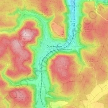
Name: Oberkochen topographic map, elevation, terrain.

Location: Oberkochen, Ostalbkreis, Baden-Württemberg, 73447, Germany (48.75329 10.05645 48.80900 10.14860)

Average elevation: 2,011 ft

Minimum elevation: 1,506 ft

Maximum elevation: 2,441 ft

Other topographic maps

Click on a map to view its topography, its elevation and its terrain.

Dorfmerkingen

Germany > Baden-Württemberg > Ostalbkreis > Neresheim

Average elevation: 1,942 ft

Gear up for your next adventure:

🧭Compass with Lanyard - Easy‑carry compass for navigation
🪶LED Camping Lantern - Bright lantern for camp lighting
🧭Orienteering Set - Complete compass and map reading kit
🌧️Backpack Rain Cover - Keep gear dry in wet weather
🩹Survival Bandages - High‑quality bandages for emergencies

As an Amazon Associate, this site earns from qualifying purchases at no extra cost to you.