
Thank you for supporting this site ❤️
Make a donation
Make a donation
Gear up for your next adventure:
As an Amazon Associate, this site earns from qualifying purchases at no extra cost to you.
Albion topographic map
Click on the map to display elevation.
Thank you for supporting this site ❤️
Make a donation
Make a donation
Gear up for your next adventure:
As an Amazon Associate, this site earns from qualifying purchases at no extra cost to you.
About this map
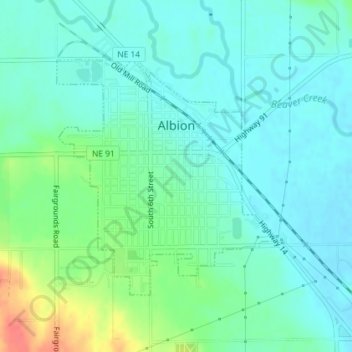
Name: Albion topographic map, elevation, terrain.
Location: Albion, Boone County, Nebraska, 68620, United States (41.67991 -98.01352 41.69807 -97.99098)
Average elevation: 1,781 ft
Minimum elevation: 1,736 ft
Maximum elevation: 1,916 ft
Nebraska trails, hiking, mountain biking, running and outdoor activities
Thank you for supporting this site ❤️
Make a donation
Make a donation
Gear up for your next adventure:
As an Amazon Associate, this site earns from qualifying purchases at no extra cost to you.