
Villa Rica topographic map
Click on the map to display elevation.
About this map
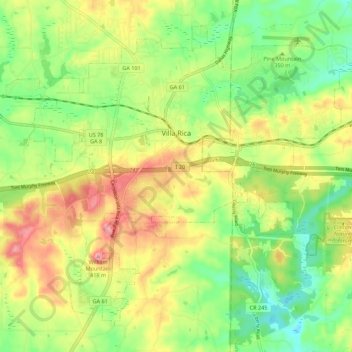
Name: Villa Rica topographic map, elevation, terrain.
Location: Villa Rica, Carroll County, Georgia, 30180, United States (33.68193 -84.97237 33.76000 -84.86267)
Average elevation: 1,109 ft
Minimum elevation: 922 ft
Maximum elevation: 1,345 ft
Carroll County trails, hiking, mountain biking, running and outdoor activities
Other topographic maps
Click on a map to view its topography, its elevation and its terrain.