
Area A (Wells Gray Country) topographic map
Interactive map
Click on the map to display elevation.
About this map
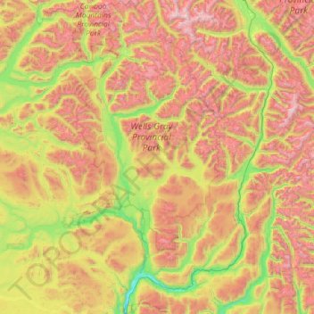
Name: Area A (Wells Gray Country) topographic map, elevation, terrain.
Average elevation: 4,767 ft
Minimum elevation: 1,270 ft
Maximum elevation: 11,385 ft