
Tadoule Lake (Tes-He-Olie Twe) topographic map
Interactive map
Click on the map to display elevation.
About this map
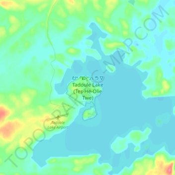
Name: Tadoule Lake (Tes-He-Olie Twe) topographic map, elevation, terrain.
Location: Tadoule Lake (Tes-He-Olie Twe), Manitoba, Canada (58.67950 -98.52588 58.75950 -98.44588)
Average elevation: 833 ft
Minimum elevation: 794 ft
Maximum elevation: 1,014 ft