
Thank you for supporting this site ❤️
Make a donation
Make a donation
Gear up for your next adventure:
As an Amazon Associate, this site earns from qualifying purchases at no extra cost to you.
Bantug topographic map
Click on the map to display elevation.
Thank you for supporting this site ❤️
Make a donation
Make a donation
Gear up for your next adventure:
As an Amazon Associate, this site earns from qualifying purchases at no extra cost to you.
About this map
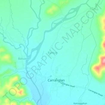
Name: Bantug topographic map, elevation, terrain.
Location: Bantug, Carranglan, Nueva Ecija, Central Luzon, Philippines (15.95116 121.04243 15.99116 121.08243)
Average elevation: 843 ft
Minimum elevation: 748 ft
Maximum elevation: 1,263 ft
Thank you for supporting this site ❤️
Make a donation
Make a donation
Gear up for your next adventure:
As an Amazon Associate, this site earns from qualifying purchases at no extra cost to you.