
Marinen topographic map
Interactive map
Click on the map to display elevation.
About this map
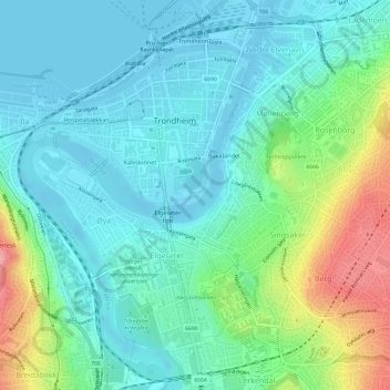
Name: Marinen topographic map, elevation, terrain.
Location: Marinen, Midtbyen, Trondheim, Tröndelag, Norwegen (63.42453 10.38930 63.42603 10.40030)
Average elevation: 105 ft
Minimum elevation: -10 ft
Maximum elevation: 427 ft
Other topographic maps
Click on a map to view its topography, its elevation and its terrain.