
Midtbyen topographic map
Interactive map
Click on the map to display elevation.
About this map
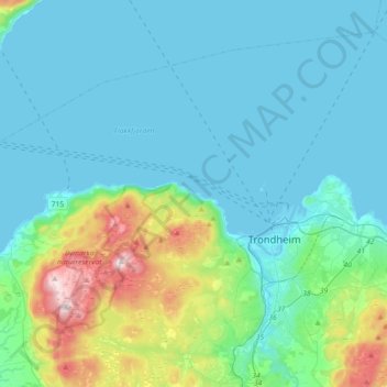
Name: Midtbyen topographic map, elevation, terrain.
Location: Midtbyen, Trondheim, Tröndelag, Norwegen (63.38231 10.18752 63.51659 10.54742)
Average elevation: 302 ft
Minimum elevation: -10 ft
Maximum elevation: 1,824 ft
Other topographic maps
Click on a map to view its topography, its elevation and its terrain.