
Craik topographic map
Interactive map
Click on the map to display elevation.
About this map
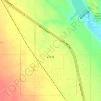
Name: Craik topographic map, elevation, terrain.
Location: Craik, Saskatchewan, S0G 0V0, Canada (51.04118 -105.83391 51.06512 -105.80488)
Average elevation: 1,903 ft
Minimum elevation: 1,795 ft
Maximum elevation: 1,975 ft