
南川村 topographic map
Interactive map
Click on the map to display elevation.
About this map
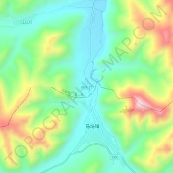
Name: 南川村 topographic map, elevation, terrain.
Location: 南川村, 武山县, 天水市, 甘肃省, 中国 (34.41975 104.89594 34.45975 104.93594)
Average elevation: 7,198 ft
Minimum elevation: 6,594 ft
Maximum elevation: 8,346 ft
Other topographic maps
Click on a map to view its topography, its elevation and its terrain.