
柴坪 topographic map
Interactive map
Click on the map to display elevation.
About this map
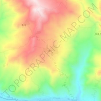
Name: 柴坪 topographic map, elevation, terrain.
Location: 柴坪, 武山县, 天水市, 甘肃省, 中国 (34.76389 104.65312 34.80389 104.69312)
Average elevation: 6,348 ft
Minimum elevation: 5,400 ft
Maximum elevation: 7,303 ft
Other topographic maps
Click on a map to view its topography, its elevation and its terrain.