
Большие Сокольники topographic map
Interactive map
Click on the map to display elevation.
About this map
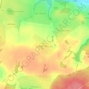
Name: Большие Сокольники topographic map, elevation, terrain.
Average elevation: 614 ft
Minimum elevation: 453 ft
Maximum elevation: 722 ft
Other topographic maps
Click on a map to view its topography, its elevation and its terrain.
Pereslavl-Zalessky
Russia > Yaroslavl Oblast > городской округ Переславль-Залесский
Pereslavl-Zalessky, городской округ Переславль-Залесский, Yaroslavl Oblast, Central Federal District, Russia
Average elevation: 499 ft