
Thank you for supporting this site ❤️
Make a donation
Make a donation
Gear up for your next adventure:
As an Amazon Associate, this site earns from qualifying purchases at no extra cost to you.
Valleyre topographic map
Click on the map to display elevation.
Thank you for supporting this site ❤️
Make a donation
Make a donation
Gear up for your next adventure:
As an Amazon Associate, this site earns from qualifying purchases at no extra cost to you.
About this map
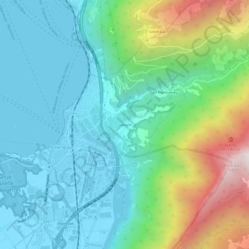
Name: Valleyre topographic map, elevation, terrain.
Location: Valleyre, Villeneuve (VD), District d'Aigle, Vaud, 1844, Suisse (46.38020 6.91936 46.42020 6.95936)
Average elevation: 2,392 ft
Minimum elevation: 1,214 ft
Maximum elevation: 5,856 ft
Thank you for supporting this site ❤️
Make a donation
Make a donation
Gear up for your next adventure:
As an Amazon Associate, this site earns from qualifying purchases at no extra cost to you.