
Make a donation
Gear up for your next adventure:
As an Amazon Associate, this site earns from qualifying purchases at no extra cost to you.
Jardins topographic map
Click on the map to display elevation.
Make a donation
Gear up for your next adventure:
As an Amazon Associate, this site earns from qualifying purchases at no extra cost to you.
About this map
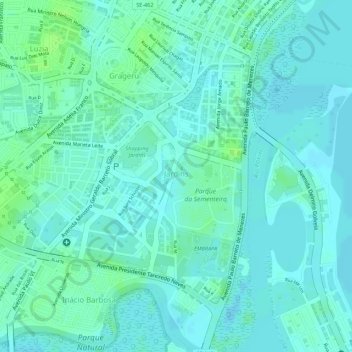
Name: Jardins topographic map, elevation, terrain.
Average elevation: 16 ft
Minimum elevation: -10 ft
Maximum elevation: 39 ft
Make a donation
Gear up for your next adventure:
As an Amazon Associate, this site earns from qualifying purchases at no extra cost to you.
Other topographic maps
Click on a map to view its topography, its elevation and its terrain.
Parque da Sementeira
Brasil > Sergipe > Região Metropolitana de Aracaju > Aracaju
Average elevation: 13 ft
Parque da Cidade - Morro do Urubu
Brasil > Sergipe > Região Metropolitana de Aracaju > Aracaju
Average elevation: 46 ft
Make a donation
Gear up for your next adventure:
As an Amazon Associate, this site earns from qualifying purchases at no extra cost to you.