
Woodville topographic map
Interactive map
Click on the map to display elevation.
About this map
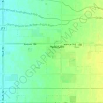
Name: Woodville topographic map, elevation, terrain.
Location: Woodville, Tulare County, California, United States (36.08016 -119.23233 36.10201 -119.16966)
Average elevation: 335 ft
Minimum elevation: 308 ft
Maximum elevation: 361 ft
Tulare County trails, hiking, mountain biking, running and outdoor activities