
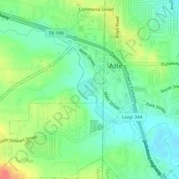
Central Park ~ Azle topographic map
Interactive map
Click on the map to display elevation.
About this map
Name: Central Park ~ Azle topographic map, elevation, terrain.
Average elevation: 732 ft
Minimum elevation: 659 ft
Maximum elevation: 860 ft
Parker County trails, hiking, mountain biking, running and outdoor activities